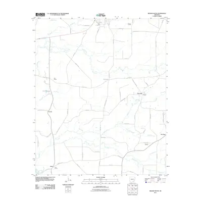
2011 Map of Wilmar South
USGS Topo · Published 2011About this map
Tenmile Creek and Hazel Creek wind through this rural landscape in the early twenty-first century, defining a region characterized by small crossroad settlements and significant genealogical sites. The area is dotted with historic burying grounds, from the central Bond Cemetery to the Corinth-O'Neil Cemetery near Corinth. In the northeast corner, the Tenn Spur railroad line represents the legacy of timber transport that historically drove the local economy.
Find a feature on this map
65 named features on this map. Tap any name to fly to it.
Don’t see what you’re looking for? This feature index may not catch every label — zoom into the map to look around manually.
Map Details
Editions of this 2011 Wilmar South Map
This is the sole edition of this map. No revisions or reprints were ever made.
Other maps of this area

1934 · Ingalls
USGS Topo · 1:48,000

1937 · Ingalls
USGS Topo · 1:62,500

1939 · Ingalls
USGS Topo · 1:62,500

1953 · Greenwood
USGS Topo · 1:250,000

1953 · El Dorado
USGS Topo · 1:250,000

1956 · Greenwood
USGS Topo · 1:250,000

1957 · El Dorado
USGS Topo · 1:250,000

1958 · El Dorado
USGS Topo · 1:250,000

1960 · El Dorado
USGS Topo · 1:250,000

1966 · Monticello North
USGS Topo · 1:24,000