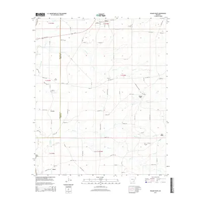
2014 Map of Wilmar South
USGS Topo · Published 2014About this map
Wilmar and its surrounding rural communities are situated along the Bradley Co Drew Co line in this 2014 survey. The landscape is defined by the winding paths of Tenmile Cr, Hazel Cr, and Clear Cr, which drain the lowlands around The Prairie. This area is rich in genealogical markers, featuring a high density of country cemeteries such as Turner Hills Cem, Bond Cem, and New Hope Cem. The settlement pattern reflects a deeply rooted agrarian history, where small clusters like Corinth and Green Hill are connected by a network of local routes including Green Hill New Hope Rd and Old Warren Rd. To the south, Shiloh and the community of River Island sit near the swampy terrain of Old River and Gin House Slough, illustrating how the local hydrology has shaped the location of historic family homesteads and churchyards.
Find a feature on this map
86 named features on this map. Tap any name to fly to it.
Don’t see what you’re looking for? This feature index may not catch every label — zoom into the map to look around manually.
Map Details
Editions of this 2014 Wilmar South Map
This is the sole edition of this map. No revisions or reprints were ever made.
Other maps of this area

1934 · Ingalls
USGS Topo · 1:48,000

1937 · Ingalls
USGS Topo · 1:62,500

1939 · Ingalls
USGS Topo · 1:62,500

1953 · Greenwood
USGS Topo · 1:250,000

1953 · El Dorado
USGS Topo · 1:250,000

1956 · Greenwood
USGS Topo · 1:250,000

1957 · El Dorado
USGS Topo · 1:250,000

1958 · El Dorado
USGS Topo · 1:250,000

1960 · El Dorado
USGS Topo · 1:250,000

1966 · Monticello North
USGS Topo · 1:24,000