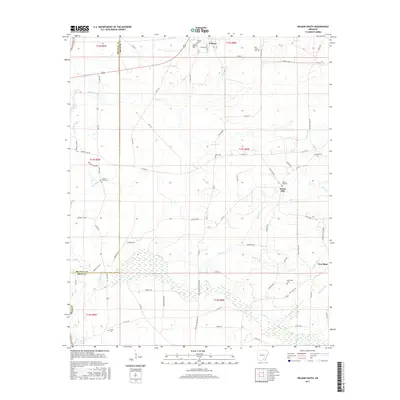
2017 Map of Wilmar South
USGS Topo · Published 2017About this map
Wilmar and the surrounding timberlands of the Bradley Co Drew Co line are defined by a complex network of wetlands and small rural settlements. Near the northern edge, the Saline River and its tributary Flat Br influence the local landscape, while numerous family and community burial grounds like Turner Hills Cem and Bond Cem offer points of interest for genealogists. The area is marked by a transition from the structured township blocks to the winding paths of Tenmile Cr and Hazel Cr. Small centers like Green Hill and New Hope serve as anchors in a region largely dominated by forestry and agriculture. Local transport is facilitated by an extensive system of rural routes, including Old Hwy 8 and New Hope Rd, which connect these isolated settlements and their respective community spaces, such as Green Hill Cem.
Find a feature on this map
76 named features on this map. Tap any name to fly to it.
Don’t see what you’re looking for? This feature index may not catch every label — zoom into the map to look around manually.
Map Details
Editions of this 2017 Wilmar South Map
This is the sole edition of this map. No revisions or reprints were ever made.
Other maps of this area

1934 · Ingalls
USGS Topo · 1:48,000

1937 · Ingalls
USGS Topo · 1:62,500

1939 · Ingalls
USGS Topo · 1:62,500

1953 · Greenwood
USGS Topo · 1:250,000

1953 · El Dorado
USGS Topo · 1:250,000

1956 · Greenwood
USGS Topo · 1:250,000

1957 · El Dorado
USGS Topo · 1:250,000

1958 · El Dorado
USGS Topo · 1:250,000

1960 · El Dorado
USGS Topo · 1:250,000

1966 · Monticello North
USGS Topo · 1:24,000