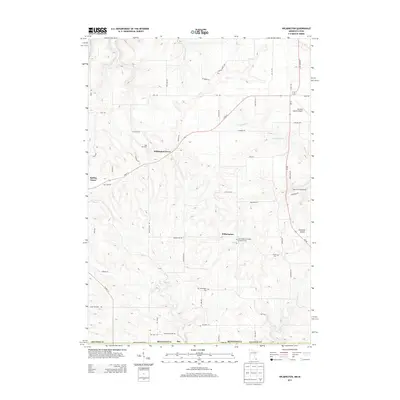
2013 Map of Wilmington
USGS Topo · Published 2013About this map
Wilmington sits at the heart of this Houston County landscape, where the rolling terrain is defined by the branching waters of Winnebago Cr and Beaver Cr West. The area is characterized by a high density of rural cemeteries, including the Old Wilmington Cem and the Wilmington Norwegian Lutheran Cem, reflecting a long-standing community footprint in this corner of southeastern Minnesota. The presence of Portland Prairie and Willington Grove suggests a history of clustered agricultural settlements, while the Houston County Airport indicates modern connectivity. In the northern reaches, family-named landmarks like Way Mar Farm sit near the intersection of Gap Dr and Inch Mile Rd, illustrating the persistence of established landholdings and farmsteads through the early 21st century.
Find a feature on this map
58 named features on this map. Tap any name to fly to it.
Don’t see what you’re looking for? This feature index may not catch every label — zoom into the map to look around manually.
Map Details
Editions of this 2013 Wilmington Map
This is the sole edition of this map. No revisions or reprints were ever made.
Other maps of this area

1903 · Waukon
USGS Topo · 1:125,000

1906 · Decorah
USGS Topo · 1:125,000

1956 · Brownsville
USGS Topo · 1:62,500

1958 · La Crosse
USGS Topo · 1:250,000

1961 · La Crosse
USGS Topo · 1:250,000

1965 · La Crosse
USGS Topo · 1:250,000

1965 · Wilmington
USGS Topo · 1:24,000

1965 · Spring Grove
USGS Topo · 1:24,000

1965 · Sheldon
USGS Topo · 1:24,000

1965 · Yucatan
USGS Topo · 1:24,000