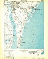
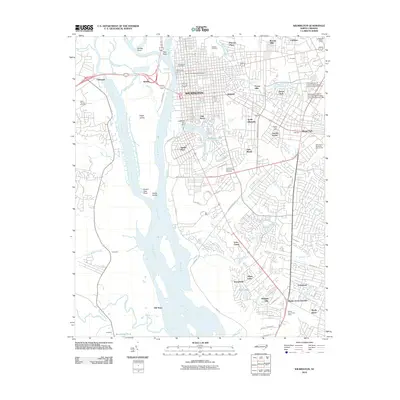
1948 Map of Wilmington
USGS Topo · Published 1948About this map
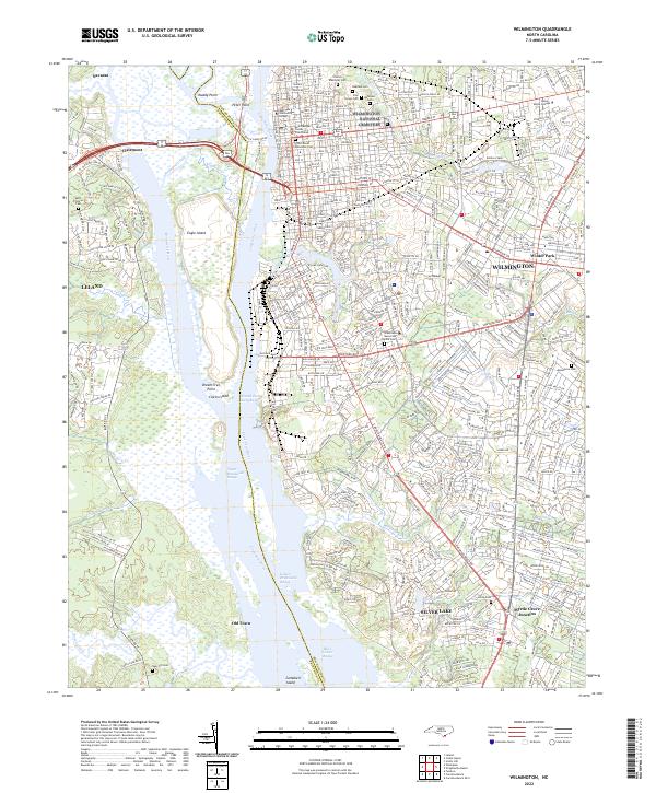
Wilmington serves as the industrial and maritime hub for this coastal survey, where the North East Cape Fear River and Cape Fear River converge. The city's 1940s infrastructure is clearly defined, featuring the Union Station rail terminal and the U.S. Customs House along the waterfront. Southward, the landscape transitions into tidal marshes and islands such as Eagles Island and Campbell Island.
Find a feature on this map
55 named features on this map. Tap any name to fly to it.
Don’t see what you’re looking for? This feature index may not catch every label — zoom into the map to look around manually.
Map Details
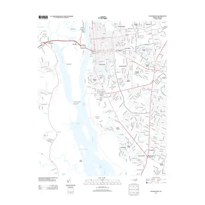
Editions of this 1948 Wilmington Map
2 editions found

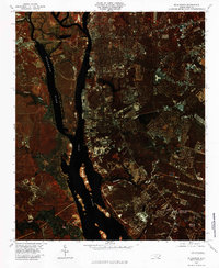
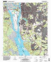
Historical Maps of Wilmington Through Time
12 maps found

1942 Wilmington
New Hanover County, NC
1948 Wilmington
New Hanover County, NC
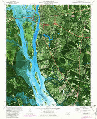
1970 Wilmington
New Hanover County, NC
1980 Wilmington
New Hanover County, NC

1984 Wilmington
New Hanover County, NC

1990 Wilmington
New Hanover County, NC
1993 Wilmington
New Hanover County, NC
2010 Wilmington
New Hanover County, NC
2013 Wilmington
New Hanover County, NC
2016 Wilmington
New Hanover County, NC
2019 Wilmington
New Hanover County, NC
2022 Wilmington
New Hanover County, NC