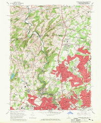
1967 Map of Wilmington North
USGS Topo · Published 1969About this map
Brandywine Creek meanders through this landscape, marking a transition from the industrial and residential core of Wilmington to the expansive estates and protected lands of the Brandywine Valley. The late 1960s suburban expansion is evident in the residential clusters of McDaniel Heights and Fairfax, yet much of the northern terrain remains defined by institutional land use. This map documents the cultural legacy of the DuPont family, featuring the Winterthur Museum and Gardens and the Hagley Museum along the riverbanks. Highlighting the era's recreational interests, the Brandywine Raceway and several prominent golf courses, including the DuPont Country Club and Biderman Golf Club, are prominently sited. Researchers will find a mix of older rural nodes like Montchanin and Rockland alongside modern infrastructure like the Hoopes Reservoir.
Find a feature on this map
142 named features on this map. Tap any name to fly to it.
Don’t see what you’re looking for? This feature index may not catch every label — zoom into the map to look around manually.
Map Details
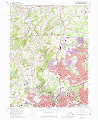
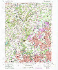
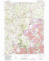
Editions of this 1967 Wilmington North Map
4 editions found
Other maps of this area

1890 · Salem
USGS Topo · 1:62,500

1894 · Chester
USGS Topo · 1:62,500

1896 · Chester
USGS Topo · 1:62,500

1898 · Salem
USGS Topo · 1:62,500

1898 · Chester
USGS Topo · 1:62,500

1901 · Camden
USGS Topo · 1:125,000

1901 · West Chester
USGS Topo · 1:62,500

1904 · West Chester
USGS Topo · 1:62,500

1904 · Wilmington
USGS Topo · 1:62,500

1906 · Wilmington
USGS Topo · 1:62,500