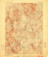
1889 Map of Wilmington
USGS Topo · Published 1903About this map
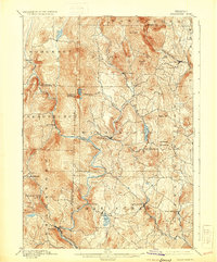
Wilmington sits at the convergence of mountain brooks and the Deerfield River, serving as a central hub for the small villages and scattered hamlets of southern Vermont. This late nineteenth-century landscape is defined by the steep climb of Haystack Mountain and Hogback Mountain, which dictated the winding paths of roads and early settlement patterns. Industrial activity is most visible in the southwest, where the Hoosac Tunnel and Wilmington R.R. follows the river through Readsboro, connecting this isolated timber and agricultural region to broader markets.
Find a feature on this map
51 named features on this map. Tap any name to fly to it.
Don’t see what you’re looking for? This feature index may not catch every label — zoom into the map to look around manually.
Map Details
Editions of this 1889 Wilmington Map
7 editions found
Other maps of this area

1886 · Greylock
USGS Topo · 1:62,500

1886 · Hawley
USGS Topo · 1:62,500

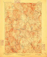
1889 · Wilmington
USGS Topo · 1:62,500

1890 · Hawley
USGS Topo · 1:62,500

1890 · Greenfield
USGS Topo · 1:62,500

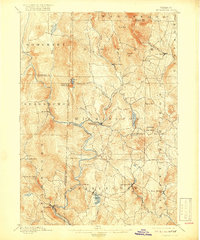
1891 · Wilmington
USGS Topo · 1:62,500

1891 · Greylock
USGS Topo · 1:62,500

1891 · Brattleboro
USGS Topo · 1:62,500

1893 · Brattleboro
USGS Topo · 1:62,500

1893 · Greylock
USGS Topo · 1:62,500