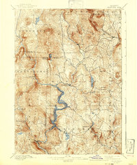
1889 Map of Wilmington
USGS Topo · Published 1942About this map
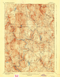
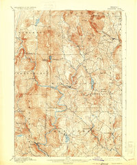
The Deerfield River carves a deep path through the southern Green Mountains in this late 19th-century reconnaissance survey, capturing a landscape defined by timber, early industrial water power, and the narrow-gauge Hoosac Tunnel and Wilmington R. R. tracking the riverbank. This edition is particularly notable for its composite history: while the topographic data reflects the 1889 survey by G.E. Hyde, the 1942 reprint includes Whitingham Lake, providing a rare hybrid view of the valley as it transitioned from a network of river-bottom settlements like Davis Bridge to a landscape of hydro-electric reservoirs.
Find a feature on this map
49 named features on this map. Tap any name to fly to it.
Don’t see what you’re looking for? This feature index may not catch every label — zoom into the map to look around manually.
Map Details
Editions of this 1889 Wilmington Map
7 editions found
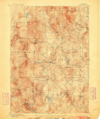
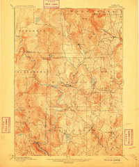
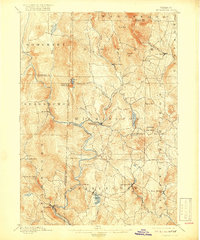
Other maps of this area

1886 · Greylock
USGS Topo · 1:62,500

1886 · Hawley
USGS Topo · 1:62,500

1889 · Wilmington
USGS Topo · 1:62,500

1890 · Hawley
USGS Topo · 1:62,500

1890 · Greenfield
USGS Topo · 1:62,500

1891 · Wilmington
USGS Topo · 1:62,500

1891 · Greylock
USGS Topo · 1:62,500

1891 · Brattleboro
USGS Topo · 1:62,500

1893 · Brattleboro
USGS Topo · 1:62,500

1893 · Greylock
USGS Topo · 1:62,500