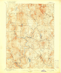
1889 Map of Wilmington
USGS Topo · Published 1918About this map
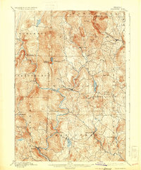
The Deerfield River and its numerous tributaries, including Cold Brook and Binney Brook, define the settlement patterns of this southern Vermont landscape. In the late 19th century, the Hoosac Tunnel and Wilmington R.R. followed the river's winding path south toward Readsboro, providing a vital rail link through the mountainous terrain. The map captures established mountain communities such as Wilmington, Jacksonville, and Whitingham before significant 20th-century hydrological changes altered the valley floors. High elevations are marked by prominent peaks like Haystack Mountain and Hogback Mountain, while local industry and agriculture are situated near water sources like Sadawga Pond and Ray Pond. The proximity of Davis Bridge and various mills along the river branches reflects a period of peak rural activity in Windham and Bennington Counties.
Find a feature on this map
51 named features on this map. Tap any name to fly to it.
Don’t see what you’re looking for? This feature index may not catch every label — zoom into the map to look around manually.
Map Details
Editions of this 1889 Wilmington Map
7 editions found
Other maps of this area

1886 · Greylock
USGS Topo · 1:62,500

1886 · Hawley
USGS Topo · 1:62,500

1889 · Wilmington
USGS Topo · 1:62,500

1890 · Hawley
USGS Topo · 1:62,500

1890 · Greenfield
USGS Topo · 1:62,500

1891 · Wilmington
USGS Topo · 1:62,500

1891 · Greylock
USGS Topo · 1:62,500

1891 · Brattleboro
USGS Topo · 1:62,500

1893 · Brattleboro
USGS Topo · 1:62,500

1893 · Greylock
USGS Topo · 1:62,500