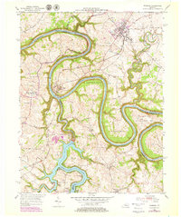
1952 Map of Wilmore
USGS Topo · Published 1979About this map
Wilmore and Shakertown anchor this Central Kentucky landscape, where the dramatic meanders of the Kentucky River carve through the limestone. The topography is defined by sharp bends in the river, including Bowmans Bend, Handys Bend, and Pollys Bend. This area shows a significant intersection of transport and recreation, with the Southern railroad crossing at High Bridge and a cluster of fishing and vacation camps such as Hagers Camp, Bradshaws Camp, and Kingfish Camp gathered along the shores of Herrington Lake.
Find a feature on this map
41 named features on this map. Tap any name to fly to it.
Don’t see what you’re looking for? This feature index may not catch every label — zoom into the map to look around manually.
Map Details
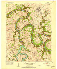
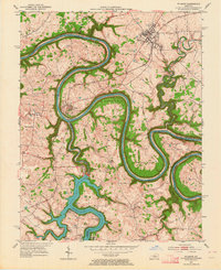
Editions of this 1952 Wilmore Map
3 editions found
Other maps of this area

1905 · Harrodsburg
USGS Topo · 1:125,000

1950 · Bryantsville
USGS Topo · 1:24,000

1952 · Keene
USGS Topo · 1:24,000

1952 · Little Hickman
USGS Topo · 1:24,000

1952 · Nicholasville
USGS Topo · 1:24,000

1952 · Buckeye
USGS Topo · 1:24,000

1952 · Danville
USGS Topo · 1:24,000

1952 · Harrodsburg
USGS Topo · 1:24,000

1952 · Bryantsville
USGS Topo · 1:24,000

1952 · Salvisa
USGS Topo · 1:24,000