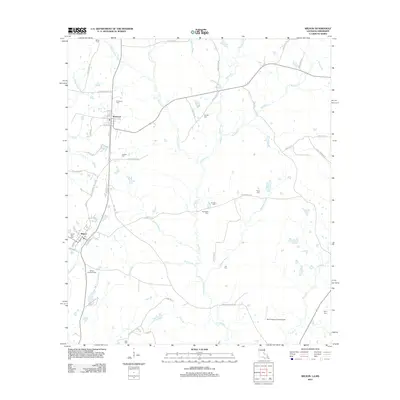
2012 Map of Wilson
USGS Topo · Published 2012About this map
Norwood and Wilson anchor this portion of East Feliciana Parish, where the landscape is defined by the winding paths of Comite Cr and the Comite River. The area maintains a rural, agricultural character, marked by a high density of small family and community burial grounds including Dubose Cem, Pernble Cem, and Carruth Cem. These sites, often located near secondary routes like Carruth Rd or Billy Goat Rd, serve as vital touchstones for genealogical research in this part of Louisiana.
Find a feature on this map
69 named features on this map. Tap any name to fly to it.
Don’t see what you’re looking for? This feature index may not catch every label — zoom into the map to look around manually.
Map Details
Editions of this 2012 Wilson Map
This is the sole edition of this map. No revisions or reprints were ever made.
Other maps of this area

1906 · Bayou Sara
USGS Topo · 1:125,000

1941 · Woodland
USGS Topo · 1:31,680

1941 · Norwood
USGS Topo · 1:31,680

1941 · Lost Creek
USGS Topo · 1:31,680

1945 · Norwood
USGS Topo · 1:31,680

1945 · Jackson
USGS Topo · 1:31,680

1945 · Lost Creek
USGS Topo · 1:31,680

1946 · Clinton
USGS Topo · 1:31,680

1949 · Bluff Creek
USGS Topo · 1:31,680

1953 · Natchez
USGS Topo · 1:250,000