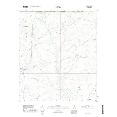
2018 Map of Wilson
USGS Topo · Published 2018About this map
Norwood and Wilson anchor the high ground in this Louisiana-Mississippi border region, where the terrain is carved by the Comite River and its intricate drainage network. The landscape is defined by its numerous small burial grounds and parish roads, reflecting a long-established pattern of rural settlement along the western edge of East Feliciana Parish. From the Hickman Bottom wetlands to the upland clearings of Mc Cutcheon Field, the map illustrates a transition between creek-bottom forests and agricultural or residential plots.
Find a feature on this map
67 named features on this map. Tap any name to fly to it.
Don’t see what you’re looking for? This feature index may not catch every label — zoom into the map to look around manually.
Map Details
Editions of this 2018 Wilson Map
This is the sole edition of this map. No revisions or reprints were ever made.
Other maps of this area

1906 · Bayou Sara
USGS Topo · 1:125,000

1941 · Woodland
USGS Topo · 1:31,680

1941 · Norwood
USGS Topo · 1:31,680

1941 · Lost Creek
USGS Topo · 1:31,680

1945 · Norwood
USGS Topo · 1:31,680

1945 · Jackson
USGS Topo · 1:31,680

1945 · Lost Creek
USGS Topo · 1:31,680

1946 · Clinton
USGS Topo · 1:31,680

1949 · Bluff Creek
USGS Topo · 1:31,680

1953 · Natchez
USGS Topo · 1:250,000