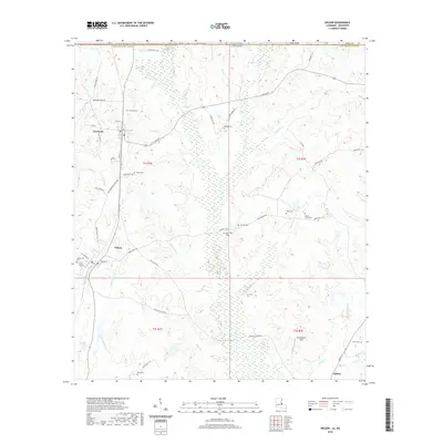
2020 Map of Wilson
USGS Topo · Published 2020About this map
Norwood and Wilson anchor this portion of East Feliciana Parish, where the Louisiana landscape transitions toward the Mississippi state line. The area is defined by a dense network of watercourses, including the Comite River, Kellers Bayou, and Opossum Bayou, which carve through the terrain between several family and community landmarks. Genealogists will find a significant concentration of burial sites throughout the quadrangle, ranging from the Easter Star Cem near Wilson to the Beech Grove Cem and Pemble Cem further east. A small portion of Clinton appears in the southeast corner, connected by the Wilson Clinton Rd. The map also documents local infrastructure such as McCutcheon Field and numerous parish roads that follow the ridges between creek branches like Little Redwood Cr and Gin Br.
Find a feature on this map
70 named features on this map. Tap any name to fly to it.
Don’t see what you’re looking for? This feature index may not catch every label — zoom into the map to look around manually.
Map Details
Editions of this 2020 Wilson Map
This is the sole edition of this map. No revisions or reprints were ever made.
Other maps of this area

1906 · Bayou Sara
USGS Topo · 1:125,000

1941 · Woodland
USGS Topo · 1:31,680

1941 · Norwood
USGS Topo · 1:31,680

1941 · Lost Creek
USGS Topo · 1:31,680

1945 · Norwood
USGS Topo · 1:31,680

1945 · Jackson
USGS Topo · 1:31,680

1945 · Lost Creek
USGS Topo · 1:31,680

1946 · Clinton
USGS Topo · 1:31,680

1949 · Bluff Creek
USGS Topo · 1:31,680

1953 · Natchez
USGS Topo · 1:250,000