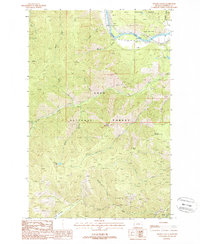
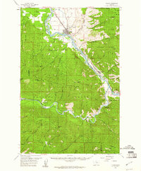
1988 Map of Wilson Gulch
USGS Topo · Published 1988About this map
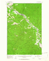
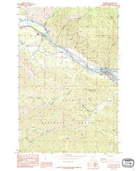
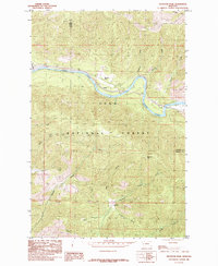
The Lolo National Forest dominates this mountain landscape, where the Clark Fork river cuts through the northern reach of the quadrangle. In the late 1980s, the area's industrial and recreational character was defined by the transition from earlier transport and resource extraction to forest management. An Old RR Grade follows the river's path, a remnant of the rail infrastructure that once serviced this corridor, while the Sloway Campground and numerous Pack Trails indicate a shift toward wilderness use. Evidence of the region's mining history is visible through several noted Prospects, an Adit, and Tailings near the river. High-elevation landmarks like Sheep Mountain, Blacktail Mountain, and Mount Baldy surround isolated water bodies such as Wilson Lake and Bouchard Lake, providing a clear record of the drainage patterns through Wilson Gulch and Thompson Creek.
Find a feature on this map
32 named features on this map. Tap any name to fly to it.
Don’t see what you’re looking for? This feature index may not catch every label — zoom into the map to look around manually.
Map Details
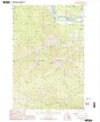
Editions of this 1988 Wilson Gulch Map
2 editions found
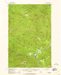
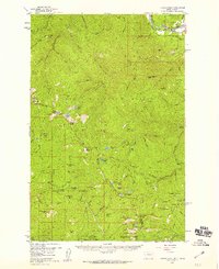
Other maps of this area

1918 · St Regis
USGS Topo · 1:125,000

1919 · St. Regis
USGS Topo · 1:125,000
1956 · St Regis
USGS Topo · 1:62,500

1956 · Wallace
USGS Topo · 1:250,000
1957 · Illinois Peak
USGS Topo · 1:62,500
1959 · Plains
USGS Topo · 1:62,500

1960 · Wallace
USGS Topo · 1:250,000
1960 · Superior
USGS Topo · 1:62,500
1985 · Superior
USGS Topo · 1:24,000
1985 · Keystone Peak
USGS Topo · 1:24,000