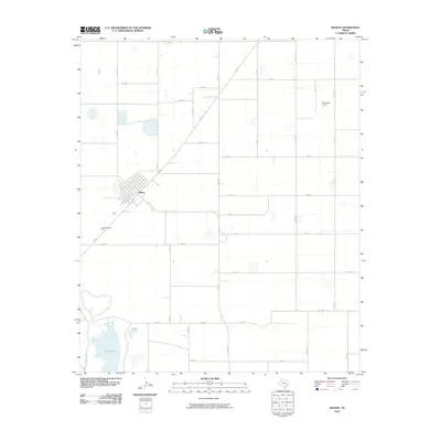
2010 Map of Wilson
USGS Topo · Published 2010About this map
Wilson serves as the primary hub of this High Plains landscape, where a precise grid of county roads defines the agricultural character of Lynn County. The town site is centered at the junction of Fm 400 and Fm 211, with the local community gathered around landmarks like GreenMemorial Park. The terrain is punctuated by significant depressions and water bodies typical of the region, most notably the expansive Tahoka Lake and the nearby Hidden Lake in the southwestern quadrant. Beyond the residential blocks, the map reveals specialized land use such as the KittenFarm Airport, located along the eastern edge near Co RD FF. This survey reflects the modern infrastructure of the 21st-century Texas plains, where state-maintained farm-to-market roads like Fm 1054 connect isolated farmsteads across a vast, organized expanse of rural territory.
Find a feature on this map
28 named features on this map. Tap any name to fly to it.
Don’t see what you’re looking for? This feature index may not catch every label — zoom into the map to look around manually.
Map Details
Editions of this 2010 Wilson Map
This is the sole edition of this map. No revisions or reprints were ever made.
Other maps of this area

1954 · Lubbock
USGS Topo · 1:250,000

1957 · New Home
USGS Topo · 1:62,500

1965 · Slaton
USGS Topo · 1:24,000

1965 · Southland
USGS Topo · 1:24,000

1965 · Wilson
USGS Topo · 1:24,000

1965 · Slaton NE
USGS Topo · 1:24,000

1969 · Tahoka
USGS Topo · 1:24,000

1970 · New Lynn
USGS Topo · 1:24,000

1970 · Grassland
USGS Topo · 1:24,000

1976 · New Home NE
USGS Topo · 1:24,000