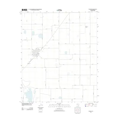
2012 Map of Wilson
USGS Topo · Published 2012About this map
Wilson serves as the central hub of this agricultural landscape in Lynn County, organized by a rigid grid of rural county roads. The town's small-scale urban core is defined by a traditional street plan featuring Green Ave, Kerr Ave, and numbered streets from 7th St to 16th St. To the southwest, Green Memorial Park sits along the route of Farm-To-Market Road 400, which transitions into Ranch Road 400 as it passes through the community.
Find a feature on this map
42 named features on this map. Tap any name to fly to it.
Don’t see what you’re looking for? This feature index may not catch every label — zoom into the map to look around manually.
Map Details
Editions of this 2012 Wilson Map
This is the sole edition of this map. No revisions or reprints were ever made.
Other maps of this area

1954 · Lubbock
USGS Topo · 1:250,000

1957 · New Home
USGS Topo · 1:62,500

1965 · Slaton
USGS Topo · 1:24,000

1965 · Southland
USGS Topo · 1:24,000

1965 · Wilson
USGS Topo · 1:24,000

1965 · Slaton NE
USGS Topo · 1:24,000

1969 · Tahoka
USGS Topo · 1:24,000

1970 · New Lynn
USGS Topo · 1:24,000

1970 · Grassland
USGS Topo · 1:24,000

1976 · New Home NE
USGS Topo · 1:24,000