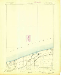
1894 Map of Wilson
USGS Topo · Published 1894About this map
The Niagara County shoreline meets the southern expanse of Lake Ontario in this late nineteenth-century survey conducted under the direction of J.W. Powell. The village of Wilson serves as the primary hub of the region, situated where the mouth of 12 Mile Cr. enters the lake. This landscape reveals a coastal economy defined by its transport links, most notably the Rome Watertown and Ogdensburg Station which connected these lakeside agricultural lands to wider New York markets.
Find a feature on this map
9 named features on this map. Tap any name to fly to it.
Don’t see what you’re looking for? This feature index may not catch every label — zoom into the map to look around manually.
Map Details
Editions of this 1894 Wilson Map
2 editions found
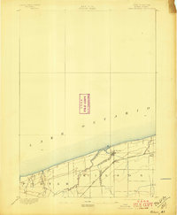
Other maps of this area
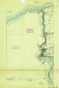
1894 · Niagara Falls
USGS Topo · 1:62,500
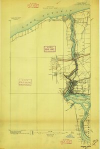
1896 · Niagara Falls
USGS Topo · 1:62,500
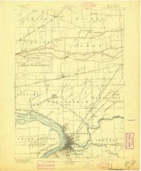
1897 · Tonawanda
USGS Topo · 1:62,500
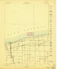
1897 · Olcott
USGS Topo · 1:62,500
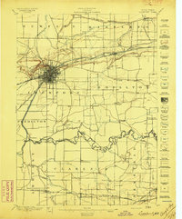
1897 · Lockport
USGS Topo · 1:62,500
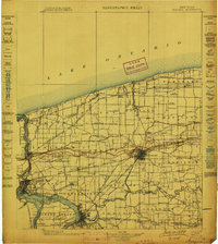
1899 · Niagara
USGS Topo · 1:125,000
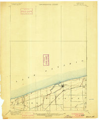
1900 · Wilson
USGS Topo · 1:62,500
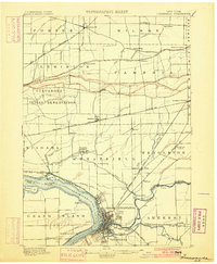
1900 · Tonawanda
USGS Topo · 1:62,500
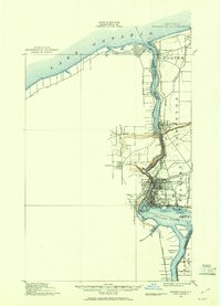
1900 · Niagara Falls
USGS Topo · 1:62,500
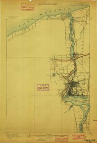
1901 · Niagara Falls
USGS Topo · 1:62,500