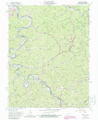
1963 Map of Wilsondale
USGS Topo · Published 1982About this map
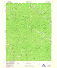
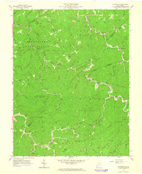
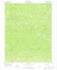
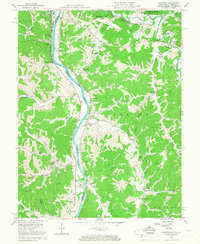
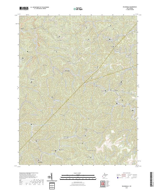
Cabwaylingo State Forest dominates the western half of this landscape, its boundary lines weaving through the intricate drainage basins of Twelvepole Creek and Jennie Creek. The area is defined by a dense network of ridge-and-hollow topography, where early 1960s settlements like Wilsondale and Breeden follow the narrow valleys alongside the N & W Ry. This survey reveals a deeply established rural community, evidenced by numerous family-named landmarks such as Kelly Knob, Perry Ridge, and Ferguson Cem. Numerous oil and gas wells dot the slopes of Cranes Nest Ridge and Tick Ridge, highlighting the region's historical reliance on mineral extraction alongside the timber interests of the state forest. Small mountain schools and churches, including the Kelly Knob Sch and Mt Sinai Ch, serve as focal points for local history and genealogy in this corner of West Virginia where Wayne, Lincoln, and Mingo counties meet.
Find a feature on this map
95 named features on this map. Tap any name to fly to it.
Don’t see what you’re looking for? This feature index may not catch every label — zoom into the map to look around manually.
Map Details
Editions of this 1963 Wilsondale Map
3 editions found
Historical Maps of Wilsondale Through Time
13 maps found
1954 Webb
Wayne County, WV
1957 Burnaugh
Wayne County, WV
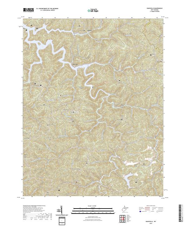
1962 Kiahsville
Wayne County, WV
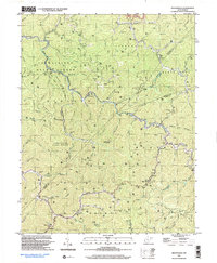
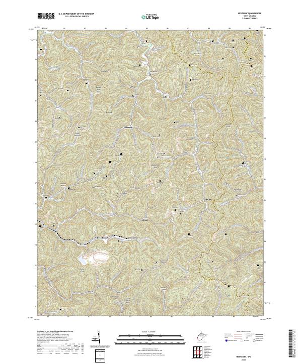
1962 Nestlow
Wayne County, WV
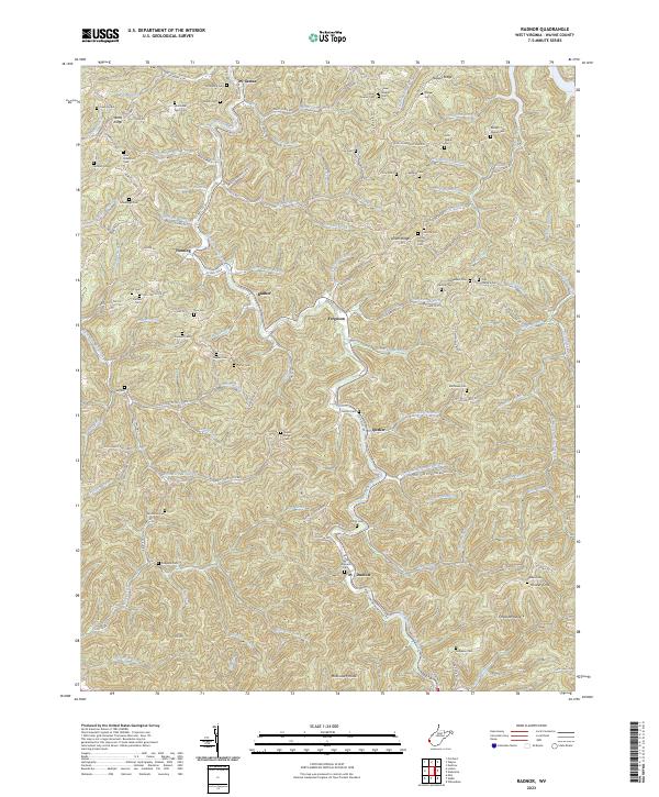
1962 Radnor
Wayne County, WV
1963 Webb
Wayne County, WV
1963 Wilsondale
Wayne County, WV
1996 Wilsondale
Wayne County, WV
2023 Kiahsville
Wayne County, WV
2023 Nestlow
Wayne County, WV
2023 Radnor
Wayne County, WV
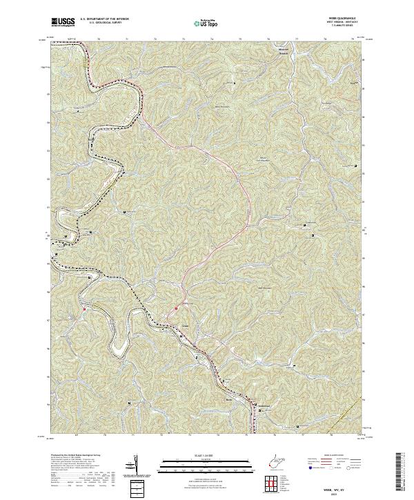
2023 Webb
Wayne County, WV
2023 Wilsondale
Wayne County, WV