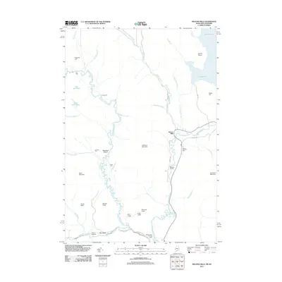
2011 Map of Wilsons Mills
USGS Topo · Published 2011About this map
Wilsons Mills serves as a small human footprint in this wilderness landscape where the Magalloway River and the Dead Diamond River converge. The topography is defined by significant elevations like Aziscohos Mountain and Black Mountain, while numerous watercourses including Swift Diamond River and Sunday Pond carve through the terrain. The presence of the Wilsons Mills Post Office and the Miller-Quinn Landing Strip near the riverbank suggests a localized hub for transport and communication in a region otherwise dominated by woodland and peaks.
Find a feature on this map
48 named features on this map. Tap any name to fly to it.
Don’t see what you’re looking for? This feature index may not catch every label — zoom into the map to look around manually.
Map Details
Editions of this 2011 Wilsons Mills Map
This is the sole edition of this map. No revisions or reprints were ever made.
Other maps of this area

1927 · Second Lake
USGS Topo · 1:62,500

1930 · Errol
USGS Topo · 1:62,500

1931 · Cupsuptic
USGS Topo · 1:48,000

1932 · Second Lake
USGS Topo · 1:62,500

1934 · Cupsuptic
USGS Topo · 1:62,500

1934 · Errol
USGS Topo · 1:62,500

1935 · Cupsuptic
USGS Topo · 1:62,500

1940 · Oquossoc
USGS Topo · 1:62,500

1942 · Oquossoc
USGS Topo · 1:62,500

1949 · Jackman
USGS Topo · 1:250,000
Featured Places
- Magalloway Plantation, ME
- Lincoln Plantation, ME
- Wilsons Mills, Lincoln Plantation
- Atkinson and Gilmanton Academy Grant, NH
- Second College Grant, NH