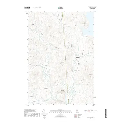
2018 Map of Wilsons Mills
USGS Topo · Published 2018About this map
The Magalloway River valley defines this borderlands landscape where Maine meets New Hampshire. The small settlement of Wilsons Mills serves as a central point of human activity within Lincoln Plantation, situated near the southern reach of Aziscohos Lake. The area's geography is characterized by numerous watercourses, including the Dead Diamond River and Swift Diamond River, which flow through a series of named ridges and peaks. Notable landmarks such as Bennett Bridge and the Lincoln Plantation Cem provide essential points for genealogical and local history research. The terrain is notably varied, featuring distinct landmarks like Mohahans Bathtub, Sams Lookout, and the aptly named Emerys Misery. A network of logging and local roads, such as Parmachenee Rd and Dike Rd, indicates the ongoing importance of timber and land management in this remote region of Coos and Oxford Counties.
Find a feature on this map
60 named features on this map. Tap any name to fly to it.
Don’t see what you’re looking for? This feature index may not catch every label — zoom into the map to look around manually.
Map Details
Editions of this 2018 Wilsons Mills Map
This is the sole edition of this map. No revisions or reprints were ever made.
Other maps of this area

1927 · Second Lake
USGS Topo · 1:62,500

1930 · Errol
USGS Topo · 1:62,500

1931 · Cupsuptic
USGS Topo · 1:48,000

1932 · Second Lake
USGS Topo · 1:62,500

1934 · Cupsuptic
USGS Topo · 1:62,500

1934 · Errol
USGS Topo · 1:62,500

1935 · Cupsuptic
USGS Topo · 1:62,500

1940 · Oquossoc
USGS Topo · 1:62,500

1942 · Oquossoc
USGS Topo · 1:62,500

1949 · Jackman
USGS Topo · 1:250,000
Featured Places
- Magalloway Plantation, ME
- Lincoln Plantation, ME
- Wilsons Mills, Lincoln Plantation
- Atkinson and Gilmanton Academy Grant, NH
- Second College Grant, NH