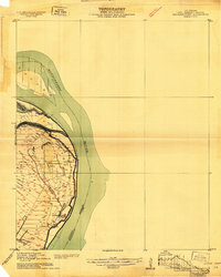
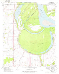
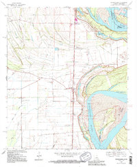
1909 Map of Wilsons Point
USGS Topo · Published 1909This historical map portrays the area of Wilsons Point in 1909, primarily covering East Carroll Parish as well as portions of Mississippi. Featuring a scale of 1:24000, this map provides a highly detailed snapshot of the terrain, roads, buildings, counties, and historical landmarks in the Wilsons Point region at the time. Published in 1909, it is one of 2 known editions of this map due to revisions or reprints.
Find a feature on this map
7 named features on this map. Tap any name to fly to it.
Don’t see what you’re looking for? This feature index may not catch every label — zoom into the map to look around manually.
Map Details
Editions of this 1909 Wilsons Point Map
2 editions found
Historical Maps of Millers Landing Through Time
16 maps found

1909 Baxter Bayou
East Carroll Parish, LA
1909 Millikin
East Carroll Parish, LA
1909 Wilson Point
East Carroll Parish, LA

1911 Baxter Bayou
East Carroll Parish, LA

1913 Wilson Point
East Carroll Parish, LA

1914 Baxter Bayou
East Carroll Parish, LA
1959 Mitchiner
East Carroll Parish, LA
1970 Millikin
East Carroll Parish, LA
1970 Sondheimer
East Carroll Parish, LA
1970 Transylvania
East Carroll Parish, LA
1986 Caraway Lake
East Carroll Parish, LA
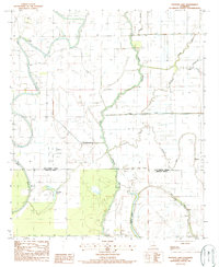
1987 Panther Lake
East Carroll Parish, LA
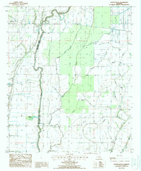
1988 Baxter Bayou
East Carroll Parish, LA
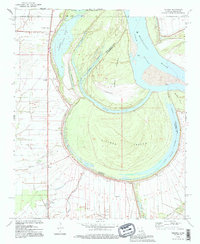
1994 Millikin
East Carroll Parish, LA
1994 Sondheimer
East Carroll Parish, LA
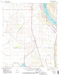
1994 Transylvania
East Carroll Parish, LA