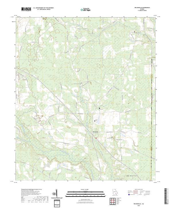
2024 Map of Wilsonville
USGS Topo · Published 2024About this map
Wilsonville serves as the central node for this South Georgia landscape, where agricultural land meets the winding course of the Seventeen Mile River. The geography is defined by a network of drainage systems, including Twentynine Mile Creek and Cat Creek, which shape the low-lying terrain typical of the Coffee County and Ware County border. The social fabric of the era is evident in the numerous family and community landmarks that dot the countryside along rural routes like Axson HWY.
Find a feature on this map
66 named features on this map. Tap any name to fly to it.
Don’t see what you’re looking for? This feature index may not catch every label — zoom into the map to look around manually.
Map Details
Editions of this 2024 Wilsonville Map
This is the sole edition of this map. No revisions or reprints were ever made.
Other maps of this area

1953 · Waycross
USGS Topo · 1:250,000

1958 · Waycross
USGS Topo · 1:250,000

1971 · Douglas North
USGS Topo · 1:24,000

1971 · Douglas South
USGS Topo · 1:24,000

1971 · Nicholls
USGS Topo · 1:24,000

1971 · Wilsonville
USGS Topo · 1:24,000

1971 · Beach
USGS Topo · 1:24,000

1971 · Axson
USGS Topo · 1:24,000

1971 · Pearson
USGS Topo · 1:24,000

1971 · Sessoms
USGS Topo · 1:24,000