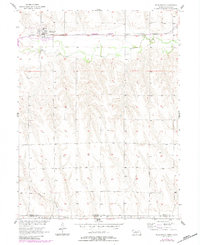
1957 Map of Wilsonville
USGS Topo · Published 1983About this map
Wilsonville occupies the northern reaches of this survey, serving as a primary hub for the surrounding plains along the Burlington Northern railroad corridor. The landscape is defined by the east-west passage of Beaver Creek, where the drainage patterns suggest a classic agricultural valley in Furnas County. Further south, the terrain transitions into the more dissected uplands that eventually meet the Nebraska Kansas state line, with the small Wildcat Creek and Sappa Cr flowing through the lower sections. The map reveals the layout of the local community, including the Cem and a prominent Water Tank, illustrating the essential infrastructure of a mid-century Great Plains village. This 1957 field check, updated with 1980s aerial revisions, captures the enduring grid of section lines and rural homesteads that characterize the borderlands of Nebraska and Kansas.
Find a feature on this map
10 named features on this map. Tap any name to fly to it.
Don’t see what you’re looking for? This feature index may not catch every label — zoom into the map to look around manually.
Map Details
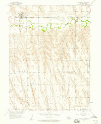
Editions of this 1957 Wilsonville Map
2 editions found
Other maps of this area

1893 · Norton
USGS Topo · 1:125,000

1896 · Arapahoe
USGS Topo · 1:125,000

1898 · Arapahoe
USGS Topo · 1:125,000

1951 · Norton
USGS Topo · 1:62,500

1951 · Norcatur
USGS Topo · 1:62,500

1954 · McCook
USGS Topo · 1:250,000

1954 · Goodland
USGS Topo · 1:250,000

1955 · Grand Island
USGS Topo · 1:250,000

1955 · Beloit
USGS Topo · 1:250,000

1956 · Goodland
USGS Topo · 1:250,000