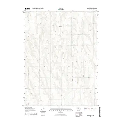
2014 Map of Wilsonville NE
USGS Topo · Published 2014About this map
Wild Horse Canyon dominates the central landscape of this Furnas County region, cutting through the high plains terrain north of the Republican River valley. This 2014 survey by the U.S. Geological Survey illustrates the modern agricultural grid of the Nebraska panhandle, where a network of section-line roads like Road 716 and Road 417 provides access to remote farmsteads and livestock ranges. Water management is central to the area's utility, evidenced by the presence of Johnson Reservoir and the drainage of Timmons Cr. The map captures the specialized rural infrastructure of the early 21st century, showing how the land is partitioned into large-scale parcels defined by elevation contours and a strictly organized roadway system including 710 Dr and Road 719.
Find a feature on this map
18 named features on this map. Tap any name to fly to it.
Don’t see what you’re looking for? This feature index may not catch every label — zoom into the map to look around manually.
Map Details
Editions of this 2014 Wilsonville NE Map
This is the sole edition of this map. No revisions or reprints were ever made.
Other maps of this area

1896 · Arapahoe
USGS Topo · 1:125,000

1898 · Arapahoe
USGS Topo · 1:125,000

1954 · McCook
USGS Topo · 1:250,000

1955 · Grand Island
USGS Topo · 1:250,000

1956 · Cambridge
USGS Topo · 1:24,000

1957 · McCook
USGS Topo · 1:250,000

1957 · Grand Island
USGS Topo · 1:250,000
1957 · Beaver City SW
USGS Topo · 1:24,000

1957 · Shippee
USGS Topo · 1:24,000
1957 · Wilsonville
USGS Topo · 1:24,000