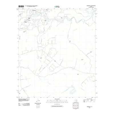
2010 Map of Wimberley
USGS Topo · Published 2010About this map
Wimberley sits at the confluence of Cypress Creek and the Blanco River in this 2010 topographic record, illustrating the town's growth as a Hill Country destination. The map shows the suburban expansion of residential areas like Flight Acres and Pioneer Town, while large agricultural and ranching properties still dominate the landscape to the south and east. Historic land-use patterns are evident in the numerous named ranches, including the B Bar Ranch, Scrutchin Ranch, and Fulton Ranch.
Find a feature on this map
61 named features on this map. Tap any name to fly to it.
Don’t see what you’re looking for? This feature index may not catch every label — zoom into the map to look around manually.
Map Details
Editions of this 2010 Wimberley Map
This is the sole edition of this map. No revisions or reprints were ever made.
Other maps of this area

1887 · Blanco
USGS Topo · 1:125,000

1894 · Blanco
USGS Topo · 1:125,000

1896 · Austin
USGS Topo · 1:125,000

1897 · Austin
USGS Topo · 1:125,000

1910 · Austin
USGS Topo · 1:125,000

1911 · San Marcos
USGS Topo · 1:125,000

1919 · San Marcos
USGS Topo · 1:125,000

1925 · Hunter No 3
USGS Topo · 1:48,000

1929 · Hunter
USGS Topo · 1:62,500

1953 · Seguin
USGS Topo · 1:250,000