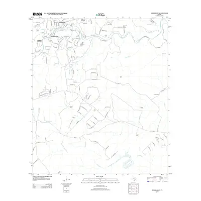
2013 Map of Wimberley
USGS Topo · Published 2013About this map
Wimberley serves as the focal point of this Central Texas landscape, situated where Cypress Cr meets the winding Blanco River. The map reveals a transition from the village center toward outlying residential developments and legacy landholdings, such as the Scrutchin Ranch and Williams Ranch. To the west, Pioneer Town and Cloptins Crossing mark key historical access points along the river corridor, while the north is defined by the elevation of Eagle Mountain and the deep incisions of Heaton Hollow and Leath Hollow.
Find a feature on this map
147 named features on this map. Tap any name to fly to it.
Don’t see what you’re looking for? This feature index may not catch every label — zoom into the map to look around manually.
Map Details
Editions of this 2013 Wimberley Map
This is the sole edition of this map. No revisions or reprints were ever made.
Other maps of this area

1887 · Blanco
USGS Topo · 1:125,000

1894 · Blanco
USGS Topo · 1:125,000

1896 · Austin
USGS Topo · 1:125,000

1897 · Austin
USGS Topo · 1:125,000

1910 · Austin
USGS Topo · 1:125,000

1911 · San Marcos
USGS Topo · 1:125,000

1919 · San Marcos
USGS Topo · 1:125,000

1925 · Hunter No 3
USGS Topo · 1:48,000

1929 · Hunter
USGS Topo · 1:62,500

1953 · Seguin
USGS Topo · 1:250,000