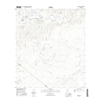
2016 Map of Wimberley
USGS Topo · Published 2016About this map
The Blanco River winds through the heart of the Texas Hill Country, anchoring a landscape defined by significant topographic relief and intricate drainage networks. Near the settlement of Wimberley, the river meets Cypress Cr, creating a focal point for local development like Pioneer Town and Cloptins Crossing. The terrain is marked by distinct geological features such as Eagle Mtn and Packsaddle Pass, which have long influenced the positioning of ranch roads and valley residences.
Find a feature on this map
114 named features on this map. Tap any name to fly to it.
Don’t see what you’re looking for? This feature index may not catch every label — zoom into the map to look around manually.
Map Details
Editions of this 2016 Wimberley Map
This is the sole edition of this map. No revisions or reprints were ever made.
Other maps of this area

1887 · Blanco
USGS Topo · 1:125,000

1894 · Blanco
USGS Topo · 1:125,000

1896 · Austin
USGS Topo · 1:125,000

1897 · Austin
USGS Topo · 1:125,000

1910 · Austin
USGS Topo · 1:125,000

1911 · San Marcos
USGS Topo · 1:125,000

1919 · San Marcos
USGS Topo · 1:125,000

1925 · Hunter No 3
USGS Topo · 1:48,000

1929 · Hunter
USGS Topo · 1:62,500

1953 · Seguin
USGS Topo · 1:250,000