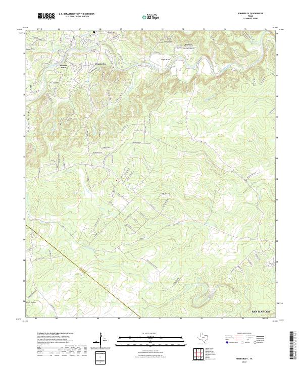
2022 Map of Wimberley
USGS Topo · Published 2022About this map
The Blanco River winds through the heart of the Texas Hill Country in this 2022 survey, anchoring a landscape where residential growth meets complex topography. The map detail centers on the town of Wimberley, showing the concentration of commerce and settlement near the confluence of Cypress Cr and the river. To the northwest, Pioneer Town stands as a distinct local landmark, while the Wimberly Cem provides a point of significant interest for genealogists tracing family roots in Hays County.
Find a feature on this map
115 named features on this map. Tap any name to fly to it.
Don’t see what you’re looking for? This feature index may not catch every label — zoom into the map to look around manually.
Map Details
Editions of this 2022 Wimberley Map
This is the sole edition of this map. No revisions or reprints were ever made.
Other maps of this area

1887 · Blanco
USGS Topo · 1:125,000

1894 · Blanco
USGS Topo · 1:125,000

1896 · Austin
USGS Topo · 1:125,000

1897 · Austin
USGS Topo · 1:125,000

1910 · Austin
USGS Topo · 1:125,000

1911 · San Marcos
USGS Topo · 1:125,000

1919 · San Marcos
USGS Topo · 1:125,000

1925 · Hunter No 3
USGS Topo · 1:48,000

1929 · Hunter
USGS Topo · 1:62,500

1953 · Seguin
USGS Topo · 1:250,000