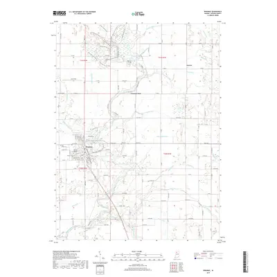
2022 Map of Winamac
USGS Topo · Published 2022About this map
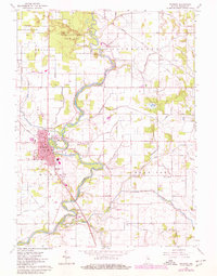
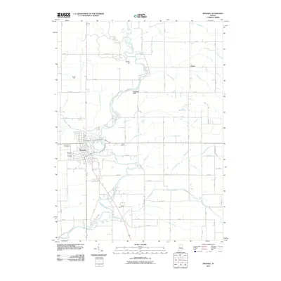
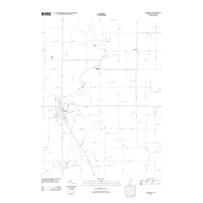
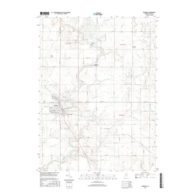
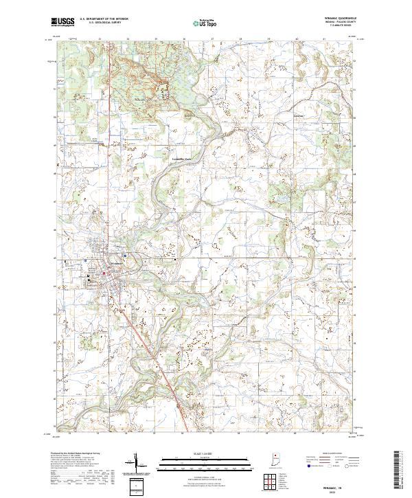
The Tippecanoe River carves a winding path through the center of Pulaski County, anchoring the town of Winamac where civic life centers on the Pulaski County Courthouse and the nearby Pulaski County Justice Center. The landscape is defined by an intricate network of drainage systems, including Anstis Ditch, Stadden Ditch, and Bruce Lake Outlet, which transformed the once-saturated terrain into productive land. This modern survey illustrates the repurposing of old corridors, most notably the Panhandle Pathway Trl, a rail-to-trail conversion that follows the historic railroad alignment south from the town center.
Find a feature on this map
45 named features on this map. Tap any name to fly to it.
Don’t see what you’re looking for? This feature index may not catch every label — zoom into the map to look around manually.
Map Details
Editions of this 2022 Winamac Map
This is the sole edition of this map. No revisions or reprints were ever made.
Historical Maps of Winamac Through Time
6 maps found