
1910 Map of Winchester
USGS Topo · Published 1910About this map
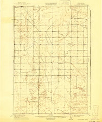
Winchester and its surrounding high desert landscape are documented here during a period of early 20th-century agrarian development in Grant County. The Great Northern RR cuts across the northwest corner of the quadrangle, providing the primary industrial link for this rural landscape. The settlement pattern is defined by a sparse but organized network of roads serving isolated farmsteads and small communities like Morrison. A striking feature of this era's social geography is the distribution of local education centers, including Sunny Slope School, Mt Olive School, Dishaw School, Morrison School, and McEwen School. These schools, often the only landmarks for several miles, indicate the scattered nature of pioneer families attempting to establish themselves in the semi-arid central Washington terrain before the advent of widespread irrigation projects.
Find a feature on this map
8 named features on this map. Tap any name to fly to it.
Don’t see what you’re looking for? This feature index may not catch every label — zoom into the map to look around manually.
Map Details
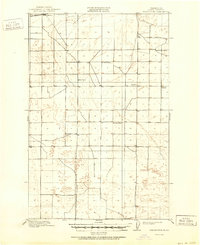
Editions of this 1910 Winchester Map
3 editions found
Other maps of this area

1909 · Quincy
USGS Topo · 1:62,500

1910 · Quincy
USGS Topo · 1:62,500

1911 · Red Rock
USGS Topo · 1:62,500

1912 · Moses Lake
USGS Topo · 1:62,500

1912 · Beverly
USGS Topo · 1:62,500

1923 · Corfu
USGS Topo · 1:62,500

1950 · Smyrna
USGS Topo · 1:62,500

1951 · Smyrna
USGS Topo · 1:62,500

1951 · Corfu
USGS Topo · 1:62,500

1953 · Walla Walla
USGS Topo · 1:250,000