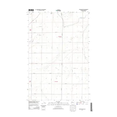
2014 Map of Winchester NE
USGS Topo · Published 2014About this map
The Pot Hole anchors the northern reaches of this landscape in Grant County, where the high desert terrain is defined by a rigid grid of agricultural infrastructure. The geometric layout of local routes, including Road F NW, Road E NW, and Road 5 NW, reflects the systematic land division of the t20n r26e and t19n r26e townships. This 2014 survey reveals the importance of water management in the region, specifically through the Canal W-20, which cuts across the northeastern corner. The presence of Wa-283 and major corridors like Dodson Rd N highlights the transport network required to connect these rural sections. The map serves as a primary source for researchers tracking modern property boundaries and the precise location of topographic depressions like The Pot Hole within the Columbia Basin.
Find a feature on this map
28 named features on this map. Tap any name to fly to it.
Don’t see what you’re looking for? This feature index may not catch every label — zoom into the map to look around manually.
Map Details
Editions of this 2014 Winchester NE Map
This is the sole edition of this map. No revisions or reprints were ever made.
Other maps of this area

1910 · Winchester
USGS Topo · 1:62,500

1912 · Moses Lake
USGS Topo · 1:62,500

1953 · Ritzville
USGS Topo · 1:250,000

1956 · Ephrata
USGS Topo · 1:62,500

1956 · Ephrata
USGS Topo · 1:24,000

1956 · Ephrata SW
USGS Topo · 1:24,000

1956 · Grant Orchards
USGS Topo · 1:24,000

1956 · Mae
USGS Topo · 1:24,000
1956 · Winchester SE
USGS Topo · 1:24,000

1956 · Winchester NE
USGS Topo · 1:24,000