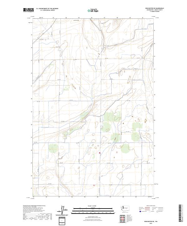
2023 Map of Winchester NE
USGS Topo · Published 2023About this map
Canal W 20 winds through this agricultural landscape in central Washington, anchoring a network of irrigation that defines the local geography. The terrain is marked by distinct depressions, most notably the large feature known as The Pot Hole, which breaks the otherwise orderly grid of the Public Land Survey System. The map reveals a precise infrastructure of rural transit, where named thoroughfares like Dodson Rd N and Kriete Rd intersect with a system of numbered routes including Rd 10.8 NW and Rd 7 NW. This modern survey reflects the enduring influence of 20th-century water management on the development of Grant County, showing how the distribution of water through the Canal W 20 system has shaped land use and boundary lines across Townships 19 and 20 North.
Find a feature on this map
28 named features on this map. Tap any name to fly to it.
Don’t see what you’re looking for? This feature index may not catch every label — zoom into the map to look around manually.
Map Details
Editions of this 2023 Winchester NE Map
This is the sole edition of this map. No revisions or reprints were ever made.
Other maps of this area

1910 · Winchester
USGS Topo · 1:62,500

1912 · Moses Lake
USGS Topo · 1:62,500

1953 · Ritzville
USGS Topo · 1:250,000

1956 · Ephrata
USGS Topo · 1:62,500

1956 · Ephrata
USGS Topo · 1:24,000

1956 · Ephrata SW
USGS Topo · 1:24,000

1956 · Grant Orchards
USGS Topo · 1:24,000

1956 · Mae
USGS Topo · 1:24,000
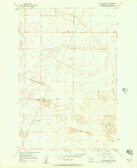
1956 · Winchester SE
USGS Topo · 1:24,000

1956 · Winchester NE
USGS Topo · 1:24,000