
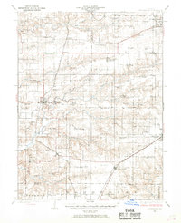
1924 Map of Winchester
USGS Topo · Published 1924About this map
Winchester and surrounding agricultural townships appear in high detail during the early 1920s, a period when the rural landscape of Scott and Morgan counties was densely populated with neighborhood institutions. The sheer volume of one-room schoolhouses, such as Hazel Dell School, Strawns Grove School, and Timber Edge School, illustrates the decentralized nature of rural life before mid-century consolidation. This topography highlights a complex drainage system led by Mauvaise Terre Creek and Big Sandy Creek, which shaped the placement of early settlements and roads.
Find a feature on this map
64 named features on this map. Tap any name to fly to it.
Don’t see what you’re looking for? This feature index may not catch every label — zoom into the map to look around manually.
Map Details
Editions of this 1924 Winchester Map
3 editions found
Other maps of this area

1924 · Roodhouse
USGS Topo · 1:62,500

1924 · Griggsville
USGS Topo · 1:62,500

1926 · Griggsville
USGS Topo · 1:62,500

1926 · Winchester
USGS Topo · 1:62,500

1926 · Roodhouse
USGS Topo · 1:62,500

1928 · Meredosia
USGS Topo · 1:62,500

1929 · Arenzville
USGS Topo · 1:62,500

1930 · Pearl
USGS Topo · 1:62,500

1931 · Meredosia
USGS Topo · 1:62,500

1932 · Greenfield
USGS Topo · 1:62,500