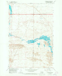
1966 Map of Winchester SE
USGS Topo · Published 1968About this map
The Winchester Wasteway defines the central landscape of this mid-1960s Grant County map, carving through an environment shaped by extensive Sand Dunes. This region reflects the mid-century development of the Columbia Basin Project, where the movement of water for irrigation fundamentally altered the high desert. The presence of the Potholes Substation and a prominent Radio Tower indicate the area's role in the regional power and communications grid. Near the intersection of Dodson Road, the map identifies localized landmarks such as McEwen and a Borrow Pit, providing specific touchpoints for local historians tracking land use and resource extraction. The contrast between the engineered water system and the natural sand formations highlights the complex land management of the central Washington interior during this era of intensive agricultural expansion.
Find a feature on this map
11 named features on this map. Tap any name to fly to it.
Don’t see what you’re looking for? This feature index may not catch every label — zoom into the map to look around manually.
Map Details
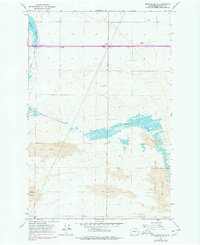
Editions of this 1966 Winchester SE Map
2 editions found
Other maps of this area

1910 · Winchester
USGS Topo · 1:62,500

1911 · Red Rock
USGS Topo · 1:62,500

1912 · Moses Lake
USGS Topo · 1:62,500

1923 · Corfu
USGS Topo · 1:62,500

1950 · Smyrna
USGS Topo · 1:62,500

1951 · Smyrna
USGS Topo · 1:62,500

1951 · Corfu
USGS Topo · 1:62,500

1953 · Walla Walla
USGS Topo · 1:250,000

1953 · Ritzville
USGS Topo · 1:250,000

1956 · Mae
USGS Topo · 1:24,000