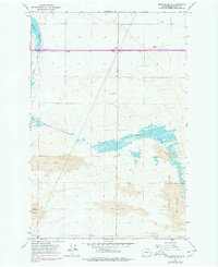
1966 Map of Winchester SE
USGS Topo · Published 1978About this map
Winchester Wasteway defines the hydrological character of this Grant County landscape, winding through a complex of Sand Dunes and agricultural infrastructure. Revisions from the mid-1970s illustrate the evolution of the Columbia Basin Project's irrigation and power systems, including the Potholes Substation and various water control features. The terrain is marked by specific local landmarks such as McEwen, Eve, and a Radio Tower, while Dodson Road serves as a primary north-south transit corridor across the desert floor. The map highlights the intersection of natural dune formations and the industrial footprint of the era, seen in features like the Storage Bin and a highway Rest Area. This survey represents the mid-century transformation of the arid Washington interior into a managed irrigation landscape.
Find a feature on this map
12 named features on this map. Tap any name to fly to it.
Don’t see what you’re looking for? This feature index may not catch every label — zoom into the map to look around manually.
Map Details
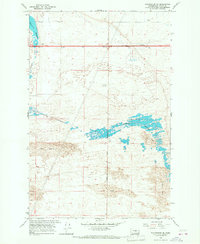
Editions of this 1966 Winchester SE Map
2 editions found
Other maps of this area

1910 · Winchester
USGS Topo · 1:62,500

1911 · Red Rock
USGS Topo · 1:62,500

1912 · Moses Lake
USGS Topo · 1:62,500

1923 · Corfu
USGS Topo · 1:62,500

1950 · Smyrna
USGS Topo · 1:62,500

1951 · Smyrna
USGS Topo · 1:62,500

1951 · Corfu
USGS Topo · 1:62,500

1953 · Walla Walla
USGS Topo · 1:250,000

1953 · Ritzville
USGS Topo · 1:250,000

1956 · Mae
USGS Topo · 1:24,000