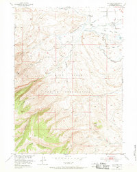
1952 Map of Wind River
USGS Topo · Published 1970About this map
Indian Cem (Grave of Sacajawea) and the Roberts Mission stand as central cultural landmarks within the Wind River Indian Reservation on this 1952 topographic survey. The landscape is defined by the transition from the irrigated plains of the Wind River valley to the higher elevations of Cedar Butte and the foothills beyond. Early water management is evident through a network of infrastructure including Ray Canal, Blue Ditch, and Dead Horse Slough, which support the high-desert terrain. Transportation in the mid-20th century relied on routes like Moccasin Lake Road, providing access to the rugged western reaches of Fremont County. Researchers will find a detailed representation of the hydrological system of Crooked Creek and Trout Creek as they descend toward the river basin.
Find a feature on this map
18 named features on this map. Tap any name to fly to it.
Don’t see what you’re looking for? This feature index may not catch every label — zoom into the map to look around manually.
Map Details
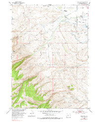
Editions of this 1952 Wind River Map
3 editions found
Other maps of this area

1937 · Moccasin Lake
USGS Topo · 1:48,000

1943 · Moccasin Lake
USGS Topo · 1:62,500

1951 · Fort Washakie
USGS Topo · 1:24,000

1951 · Ethete
USGS Topo · 1:24,000

1952 · Wise Flat
USGS Topo · 1:24,000

1952 · Ray Lake
USGS Topo · 1:24,000

1952 · Wind River
USGS Topo · 1:24,000

1953 · Mount Arter
USGS Topo · 1:24,000

1953 · Mount Arter SE
USGS Topo · 1:24,000

1955 · Thermopolis
USGS Topo · 1:250,000