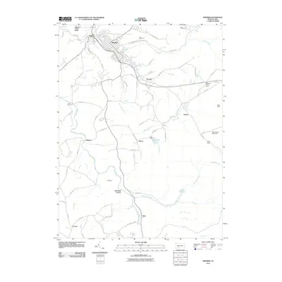
2010 Map of Windber
USGS Topo · Published 2010About this map
Old Shade Furnace stands as a significant industrial landmark in the heart of this landscape, situated near Clear Shade Creek and Hagero. This portion of Somerset County is defined by its coal mining heritage, clearly evidenced by the northern operations at Mine Number 36 and Mine Number 42 near the town of Windber. The map reveals a transition from these industrial centers to the protected woodlands of the Clear Shade Wild Area and the Babcock Picnic Area in the east.
Find a feature on this map
76 named features on this map. Tap any name to fly to it.
Don’t see what you’re looking for? This feature index may not catch every label — zoom into the map to look around manually.
Map Details
Editions of this 2010 Windber Map
This is the sole edition of this map. No revisions or reprints were ever made.
Other maps of this area

1902 · Ebensburg
USGS Topo · 1:62,500

1904 · Ebensburg
USGS Topo · 1:62,500

1904 · Johnstown
USGS Topo · 1:62,500

1907 · Johnstown
USGS Topo · 1:62,500

1908 · Bedford
USGS Topo · 1:62,500

1910 · Bedford
USGS Topo · 1:62,500

1914 · Windber
USGS Topo · 1:62,500

1916 · Windber
USGS Topo · 1:62,500

1944 · Windber
USGS Topo · 1:62,500

1953 · Pittsburgh
USGS Topo · 1:250,000