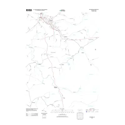
2013 Map of Windber
USGS Topo · Published 2013About this map
Windber and its surrounding coal-country townships are defined by a complex network of waterways and early industrial settlements in this 2013 study. The northern corridor is densely populated, transitioning from Scalp Level and Paint into the primary grid of Windber, while the south reveals a more dispersed landscape of hamlets such as Reitz and Forward. A significant historical landmark is the Old Shade Furnace near Dark Shade Cr, pointing to the region's early iron production roots. The landscape is also marked by substantial water infrastructure, including the Windber Reservoir and the confluence of numerous streams like Paint Cr and Seese Run. From the aviation history at Alberter Farms Airport to the recreational space at Babcock Picnic Area, the map documents a region where industry, community, and topography have long been intertwined.
Find a feature on this map
140 named features on this map. Tap any name to fly to it.
Don’t see what you’re looking for? This feature index may not catch every label — zoom into the map to look around manually.
Map Details
Editions of this 2013 Windber Map
This is the sole edition of this map. No revisions or reprints were ever made.
Other maps of this area

1902 · Ebensburg
USGS Topo · 1:62,500

1904 · Ebensburg
USGS Topo · 1:62,500

1904 · Johnstown
USGS Topo · 1:62,500

1907 · Johnstown
USGS Topo · 1:62,500

1908 · Bedford
USGS Topo · 1:62,500

1910 · Bedford
USGS Topo · 1:62,500

1914 · Windber
USGS Topo · 1:62,500

1916 · Windber
USGS Topo · 1:62,500

1944 · Windber
USGS Topo · 1:62,500

1953 · Pittsburgh
USGS Topo · 1:250,000