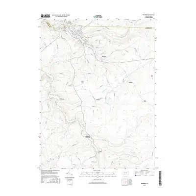
2016 Map of Windber
USGS Topo · Published 2016About this map
The borough of Windber and the surrounding Somerset County coal country are presented here in high detail, illustrating a landscape defined by industrial history and deep-cut creek valleys. To the north, the clustered settlements of Scalp Level and Paint sit near the confluence of Paint Creek, while the southern reaches of the quadrangle transition into the more rural, high-elevation terrain of the Allegheny Front. The industrial heritage of the region is anchored by the site of the Old Shade Furnace along Shade Creek, a remnant of the early iron industry that preceded the coal boom. To the east, the Windber Reservoir and the drainage of Clear Shade Creek dominate a more forested landscape, punctuated by landmarks like Brier Knob and the small communities of Ashtola and Cairnbrook. This geography reflects a complex network of company-town settlements and the infrastructure required to manage the water and minerals of the Paint and Shade creek watersheds.
Find a feature on this map
55 named features on this map. Tap any name to fly to it.
Don’t see what you’re looking for? This feature index may not catch every label — zoom into the map to look around manually.
Map Details
Editions of this 2016 Windber Map
This is the sole edition of this map. No revisions or reprints were ever made.
Other maps of this area

1902 · Ebensburg
USGS Topo · 1:62,500

1904 · Ebensburg
USGS Topo · 1:62,500

1904 · Johnstown
USGS Topo · 1:62,500

1907 · Johnstown
USGS Topo · 1:62,500

1908 · Bedford
USGS Topo · 1:62,500

1910 · Bedford
USGS Topo · 1:62,500

1914 · Windber
USGS Topo · 1:62,500

1916 · Windber
USGS Topo · 1:62,500

1944 · Windber
USGS Topo · 1:62,500

1953 · Pittsburgh
USGS Topo · 1:250,000