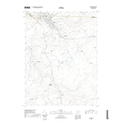
2019 Map of Windber
USGS Topo · Published 2019About this map
Windber and its surrounding coal-patch heritage are defined by a complex network of ethnically distinct religious and memorial sites. The northern reach of the map showcases the dense residential grid of Scalp Level and Paint, where the Saint Mary Roman Catholic Hungarian Church and several cemeteries, including the Hungarian Reformed Cem and Saints Cyril and Methodius II Catholic Cem, reflect the diverse immigrant history of this industrial corridor. Southward, the landscape shifts toward the drainage of Shade Creek and Dark Shade Creek, where the site of the Old Shade Furnace points to an earlier era of iron production.
Find a feature on this map
107 named features on this map. Tap any name to fly to it.
Don’t see what you’re looking for? This feature index may not catch every label — zoom into the map to look around manually.
Map Details
Editions of this 2019 Windber Map
This is the sole edition of this map. No revisions or reprints were ever made.
Other maps of this area

1902 · Ebensburg
USGS Topo · 1:62,500

1904 · Ebensburg
USGS Topo · 1:62,500

1904 · Johnstown
USGS Topo · 1:62,500

1907 · Johnstown
USGS Topo · 1:62,500

1908 · Bedford
USGS Topo · 1:62,500

1910 · Bedford
USGS Topo · 1:62,500

1914 · Windber
USGS Topo · 1:62,500

1916 · Windber
USGS Topo · 1:62,500

1944 · Windber
USGS Topo · 1:62,500

1953 · Pittsburgh
USGS Topo · 1:250,000