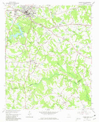
1964 Map of Winder North
USGS Topo · Published 1981About this map
The Seaboard Air Line railroad bisects this landscape, serving as a primary corridor through Winder and its southern neighbor Bethlehem. The presence of Fort Yargo State Park and Masseys Lake defines the western terrain, where the headwaters of Marbury Creek begin their course southward. This 1964 field-checked survey reveals a rural Piedmont landscape characterized by family-named roads like Roy Greeson Road and Harry Lokey Rd, which connect numerous rural congregations and resting places, such as Smith Chapel Ch and Rose Hill Cem.
Find a feature on this map
100 named features on this map. Tap any name to fly to it.
Don’t see what you’re looking for? This feature index may not catch every label — zoom into the map to look around manually.
Map Details
Editions of this 1964 Winder North Map
4 editions found
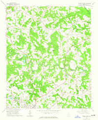
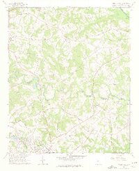
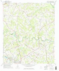
Other maps of this area

1891 · Gainesville
USGS Topo · 1:125,000

1896 · Monroe
USGS Topo · 1:125,000

1953 · Athens
USGS Topo · 1:250,000

1954 · Greenville
USGS Topo · 1:250,000

1958 · Greenville
USGS Topo · 1:250,000

1958 · Athens
USGS Topo · 1:250,000

1959 · Athens
USGS Topo · 1:250,000

1963 · Athens
USGS Topo · 1:250,000

1964 · Chestnut Mountain
USGS Topo · 1:24,000

1964 · Bold Springs
USGS Topo · 1:24,000