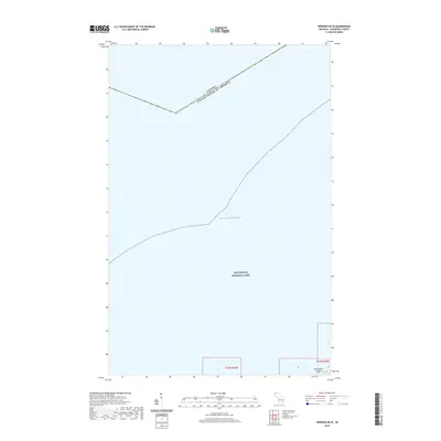
2019 Map of Windigo OE W
USGS Topo · Published 2019About this map
The vast expanse of Lake Superior dominates this maritime survey, illustrating the isolated wilderness of the northern Great Lakes along the international boundary. Located within the protected boundaries of Isle Royale National Park, the map captures the westernmost fringe of the archipelago, where the waters of the lake meet the rocky outcroppings of the Keweenaw Peninsula's distant island chain. A small portion of Washington Island is visible in the southeastern corner, serving as a landmark for the entrance to the Windigo area. The map also delineates the aquatic border where Canada and the United States of America meet, providing a rare look at the invisible political lines that divide these cold, deep waters far from the mainland.
Find a feature on this map
6 named features on this map. Tap any name to fly to it.
Don’t see what you’re looking for? This feature index may not catch every label — zoom into the map to look around manually.
Map Details
Editions of this 2019 Windigo OE W Map
This is the sole edition of this map. No revisions or reprints were ever made.
Other maps of this area

1958 · Hancock
USGS Topo · 1:250,000

1959 · Fort William
USGS Topo · 1:250,000

1960 · Hancock
USGS Topo · 1:250,000

1961 · Hancock
USGS Topo · 1:250,000

1966 · Hancock
USGS Topo · 1:250,000

1968 · Fort William
USGS Topo · 1:250,000

1985 · Pigeon Point
USGS Topo · 1:100,000

1985 · Grand Portage
USGS Topo · 1:100,000
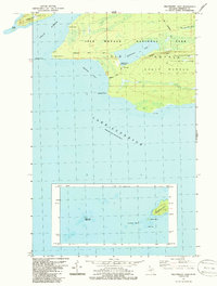
1985 · Feldtmann Lake
USGS Topo · 1:24,000
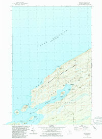
1985 · Windigo
USGS Topo · 1:24,000