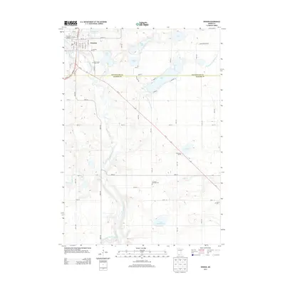
2013 Map of Windom
USGS Topo · Published 2013About this map
Windom serves as the focal point of this regional study, situated at a bend in the Des Moines River. The town's layout is defined by its proximity to several glacial lakes, including Cottonwood Lake and Wolf Lake, with the Cottonwood County Fairgrounds anchoring the northwestern corner of the community. The landscape is heavily marked by agricultural drainage patterns, notably the Judicial Ditch Number Twenty-three and Number Forty-seven Judicial Ditch, which redirect water across the prairie to support local farming.
Find a feature on this map
49 named features on this map. Tap any name to fly to it.
Don’t see what you’re looking for? This feature index may not catch every label — zoom into the map to look around manually.
Map Details
Editions of this 2013 Windom Map
This is the sole edition of this map. No revisions or reprints were ever made.
Other maps of this area

1954 · Fairmont
USGS Topo · 1:250,000

1958 · Fairmont
USGS Topo · 1:250,000

1970 · Jackson NW
USGS Topo · 1:24,000

1970 · Lakefield NE
USGS Topo · 1:24,000
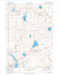
1970 · Bingham Lake
USGS Topo · 1:24,000
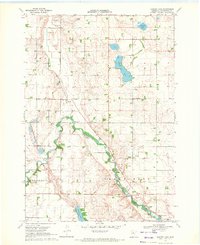
1970 · Harder Lake
USGS Topo · 1:24,000

1970 · Wilder
USGS Topo · 1:24,000
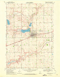
1970 · Mountain Lake
USGS Topo · 1:24,000

1970 · Lakefield
USGS Topo · 1:24,000

1970 · Windom
USGS Topo · 1:24,000