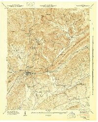
1946 Map of Windrock
USGS Topo · Published 1947About this map
Oliver Springs sits at the geological junction where the ridge-and-valley province meets the Cumberland Plateau, serving as a hub for the Southern and Louisville and Nashville railroads. In the mid-1940s, this area of Anderson, Morgan, and Roane counties was defined by the transition from the industrial mining settlements of Windrock, Upper Windrock, and Windrock Fields down to the agricultural valleys of Powell Valley and Dutch Valley. The landscape is etched with local history, from the Donovan Sch and Indian Creek Ch to numerous family burial grounds like Hoskins Cem and Gilbreath Cem. The intricate network of ridges, including the massive Walden Ridge and the descriptively named Buzzard Roost Ridge, dictates the flow of water through branches like White Log Branch and Mud Suck Creek. This survey captures the rural character of communities such as Batley and Robertsville before mid-century changes altered the regional infrastructure.
Find a feature on this map
108 named features on this map. Tap any name to fly to it.
Don’t see what you’re looking for? This feature index may not catch every label — zoom into the map to look around manually.
Map Details
Editions of this 1946 Windrock Map
2 editions found
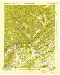
Other maps of this area

1893 · Briceville
USGS Topo · 1:125,000

1895 · Loudon
USGS Topo · 1:125,000

1895 · Briceville
USGS Topo · 1:125,000

1896 · Briceville
USGS Topo · 1:125,000

1935 · Elverton
USGS Topo · 1:24,000

1935 · Bethel Valley
USGS Topo · 1:24,000

1935 · Lovell
USGS Topo · 1:24,000

1936 · Hogbell Gap
USGS Topo · 1:24,000

1936 · Duncan Flats
USGS Topo · 1:24,000

1936 · Windrock
USGS Topo · 1:24,000