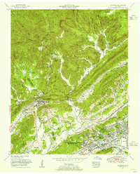
1952 Map of Windrock
USGS Topo · Published 1954About this map
Oliver Springs sits at the junction of three counties in the early 1950s, serving as a hub where the Southern and Louisville and Nashville railroads intersect. This survey illustrates the contrast between the industrial coal country along Walden Ridge and the rapid government-led expansion of the U S Atomic Energy Commission (Oak Ridge Area). To the north, steep terrain is marked by mining settlements like Upper Windrock and the winding waters of Poplar Creek.
Find a feature on this map
87 named features on this map. Tap any name to fly to it.
Don’t see what you’re looking for? This feature index may not catch every label — zoom into the map to look around manually.
Map Details
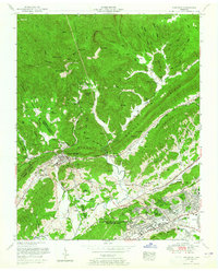
Editions of this 1952 Windrock Map
2 editions found
Other maps of this area

1893 · Briceville
USGS Topo · 1:125,000

1895 · Loudon
USGS Topo · 1:125,000

1895 · Briceville
USGS Topo · 1:125,000

1896 · Briceville
USGS Topo · 1:125,000

1935 · Elverton
USGS Topo · 1:24,000

1935 · Bethel Valley
USGS Topo · 1:24,000

1935 · Lovell
USGS Topo · 1:24,000

1936 · Hogbell Gap
USGS Topo · 1:24,000

1936 · Duncan Flats
USGS Topo · 1:24,000

1936 · Windrock
USGS Topo · 1:24,000