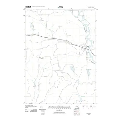
2010 Map of Windsor
USGS Topo · Published 2010About this map
The Susquehanna River bends sharply through this region, anchoring the village of Windsor where Occanum Creek and Hotchkiss Creek meet the main flow. The settlement pattern reveals a series of small rural communities and named crossroads such as Occanum, Lester, and Blatchley, many of which maintain their historical identity through local landmarks and burial grounds. Genealogists will find a high density of small cemeteries marking the landscape, including the Riley Farm Cemetery in the north and the Mount View Cemetery near Lester.
Find a feature on this map
82 named features on this map. Tap any name to fly to it.
Don’t see what you’re looking for? This feature index may not catch every label — zoom into the map to look around manually.
Map Details
Editions of this 2010 Windsor Map
This is the sole edition of this map. No revisions or reprints were ever made.
Other maps of this area

1904 · Binghamton
USGS Topo · 1:62,500

1905 · Nineveh
USGS Topo · 1:62,500

1932 · Susquehanna
USGS Topo · 1:62,500

1935 · Chenango Forks
USGS Topo · 1:24,000

1935 · Susquehanna
USGS Topo · 1:62,500

1937 · Binghamton East
USGS Topo · 1:24,000

1942 · Chenango Forks
USGS Topo · 1:31,680

1942 · Binghamton East
USGS Topo · 1:31,680

1943 · Montrose
USGS Topo · 1:62,500

1945 · Montrose
USGS Topo · 1:62,500