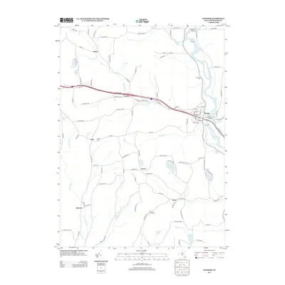
2013 Map of Windsor
USGS Topo · Published 2013About this map
The Susquehanna River defines the eastern portion of this Broome County landscape, flowing past the historic village of Windsor and under the Susquehanna River Bridge. This region shows a traditional rural settlement pattern centered on several smaller communities such as Occanum, Lester, Flowers, and Edson. Numerous cemeteries, including Windsor Village Cem, Riverside Cem, and Mt View Cem, offer valuable reference points for genealogists researching family ties in the upper Susquehanna valley.
Find a feature on this map
108 named features on this map. Tap any name to fly to it.
Don’t see what you’re looking for? This feature index may not catch every label — zoom into the map to look around manually.
Map Details
Editions of this 2013 Windsor Map
This is the sole edition of this map. No revisions or reprints were ever made.
Other maps of this area

1904 · Binghamton
USGS Topo · 1:62,500

1905 · Nineveh
USGS Topo · 1:62,500

1932 · Susquehanna
USGS Topo · 1:62,500

1935 · Chenango Forks
USGS Topo · 1:24,000

1935 · Susquehanna
USGS Topo · 1:62,500

1937 · Binghamton East
USGS Topo · 1:24,000

1942 · Chenango Forks
USGS Topo · 1:31,680

1942 · Binghamton East
USGS Topo · 1:31,680

1943 · Montrose
USGS Topo · 1:62,500

1945 · Montrose
USGS Topo · 1:62,500