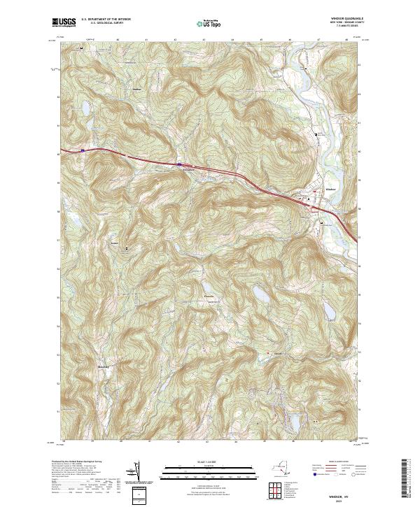
2023 Map of Windsor
USGS Topo · Published 2023About this map
The Susquehanna River flows through the eastern portion of this quadrangle, shaping the development of Windsor and its surrounding hamlets. The landscape is characterized by a series of high ridges and deep creek valleys, where small settlements like Dunbar, Occanum, and Lester are connected by a network of rural roads such as Fox Farm Rd and Co Rd 28. The distribution of family-named burial grounds, including the Riley Farm Cem and Lyons Farm Cem, reflects the long-standing agricultural roots of this Broome County territory.
Find a feature on this map
95 named features on this map. Tap any name to fly to it.
Don’t see what you’re looking for? This feature index may not catch every label — zoom into the map to look around manually.
Map Details
Editions of this 2023 Windsor Map
This is the sole edition of this map. No revisions or reprints were ever made.
Other maps of this area

1904 · Binghamton
USGS Topo · 1:62,500

1905 · Nineveh
USGS Topo · 1:62,500

1932 · Susquehanna
USGS Topo · 1:62,500

1935 · Chenango Forks
USGS Topo · 1:24,000

1935 · Susquehanna
USGS Topo · 1:62,500

1937 · Binghamton East
USGS Topo · 1:24,000

1942 · Chenango Forks
USGS Topo · 1:31,680

1942 · Binghamton East
USGS Topo · 1:31,680

1943 · Montrose
USGS Topo · 1:62,500

1945 · Montrose
USGS Topo · 1:62,500