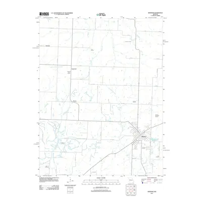
2011 Map of Windsor
USGS Topo · Published 2011About this map
Windsor serves as the primary hub of this landscape, situated at the intersection of several regional routes and home to the Windsor Farrington Park Lake. The surrounding countryside is defined by the branching tributaries of the Tebo Creek system, including the Middle Fork Tebo Creek and East Fork Tebo Creek, which carve through the rural terrain. Small settlements and former rail stops such as Bowen, Sutherland, and Henrietta are dispersed across the quadrangle, connected by an extensive grid of section roads like Bond Rd and Windsor Rd. Genealogists will find a high density of rural burial grounds preserved here, including the Goodwin Cemetery, Askins Cemetery, and Chipman Cemetery, many located in isolated areas away from the modern town center.
Find a feature on this map
61 named features on this map. Tap any name to fly to it.
Don’t see what you’re looking for? This feature index may not catch every label — zoom into the map to look around manually.
Map Details
Editions of this 2011 Windsor Map
This is the sole edition of this map. No revisions or reprints were ever made.
Other maps of this area

1885 · Warrensburg
USGS Topo · 1:125,000

1887 · Clinton
USGS Topo · 1:125,000

1887 · Sedalia
USGS Topo · 1:125,000

1887 · Warsaw
USGS Topo · 1:125,000

1887 · Warrensburg
USGS Topo · 1:125,000

1894 · Warsaw
USGS Topo · 1:125,000

1894 · Sedalia
USGS Topo · 1:125,000

1894 · Warrensburg
USGS Topo · 1:125,000

1894 · Clinton
USGS Topo · 1:125,000

1947 · Jefferson City
USGS Topo · 1:250,000