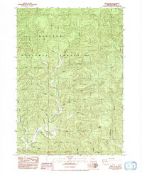
1984 Map of Windy Peak
USGS Topo · Published 1992About this map
Windy Peak stands as the topographic anchor in this 1984 provisional survey of the Coast Range within the Siuslaw National Forest. The landscape is defined by the intricate dendritic drainage pattern of Deadwood Creek and its many tributaries, including the North Fork and South Fork. These waterways cut deep into the timbered terrain, separated by prominent landforms like Buck Ridge. The map identifies several family-named water bodies such as Karlstrom, Steinhauer, Swartz, and Raleigh, providing specific geographic markers for those researching local land use and hydrology in this part of Lane County. The network of unimproved roads and trails shown here reflects the area's primary role in forest management and resource access during the late twentieth century.
Find a feature on this map
23 named features on this map. Tap any name to fly to it.
Don’t see what you’re looking for? This feature index may not catch every label — zoom into the map to look around manually.
Map Details
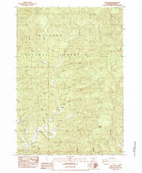
Editions of this 1984 Windy Peak Map
2 editions found
Other maps of this area

1918 · Mapleton
USGS Topo · 1:48,000

1940 · Mapleton
USGS Topo · 1:62,500

1941 · Blachly
USGS Topo · 1:62,500

1942 · Alsea
USGS Topo · 1:62,500

1942 · Blachly
USGS Topo · 1:62,500

1942 · Tidewater
USGS Topo · 1:62,500

1945 · Mapleton
USGS Topo · 1:62,500

1953 · Salem
USGS Topo · 1:250,000

1954 · Salem
USGS Topo · 1:250,000

1956 · Alsea
USGS Topo · 1:62,500